 |
 |
 |
 |
|
|
|
|
|
Site Description | Basic measurements | Equipment and Methods | View plots | FTP Data | ChEAS Home Page
|
|
|
|
|
|
|
|
|
|
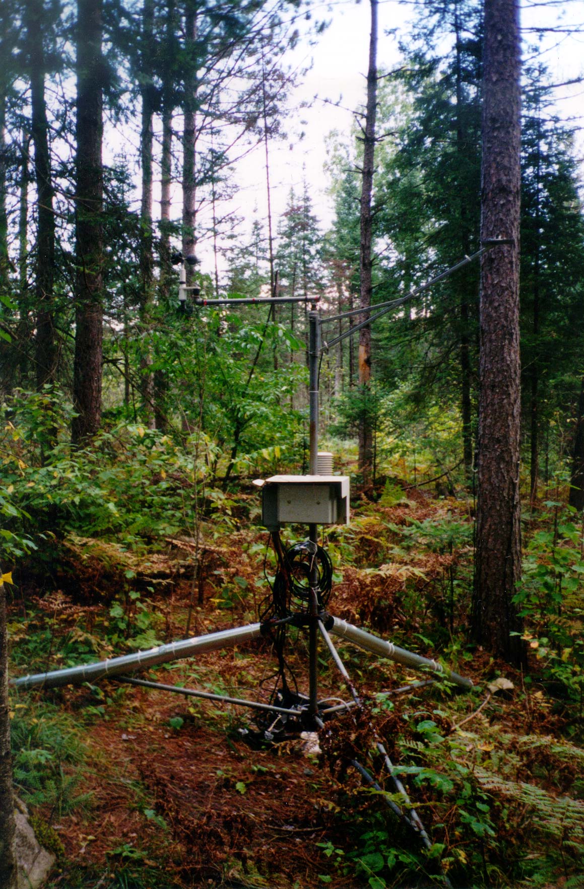
SITE
DESCRIPTION
Location:
45° 56.53' N, 90° 16.09'
W (click here for
topo map)
Elevation:
approx. 470 m above sea level
Annual Average Precipitation/Snowfall
(Park Falls, 1961-1990): 81.8 / 126.2 cm
Annual Average Temperature
(Park Falls, 1961-1990): 4.8°C
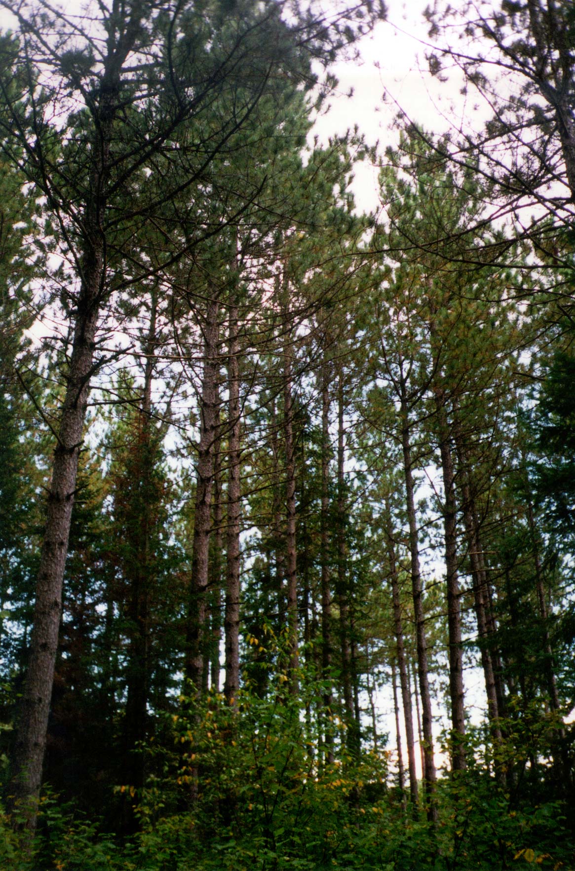
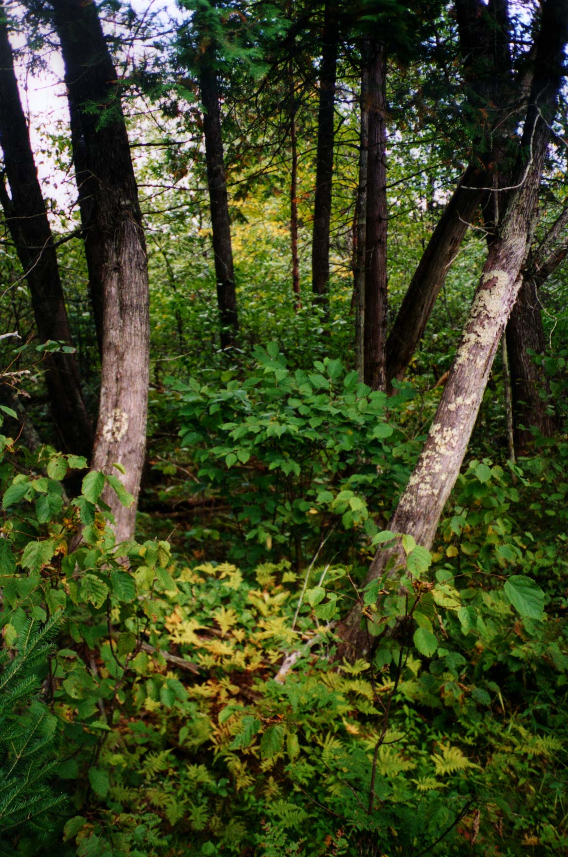
Species Composition:
Red pine upland / Cedar-alder-sphagnum wetland
Soils: Outwash
sand (click here for profile
description)
Established:
23 September 1997
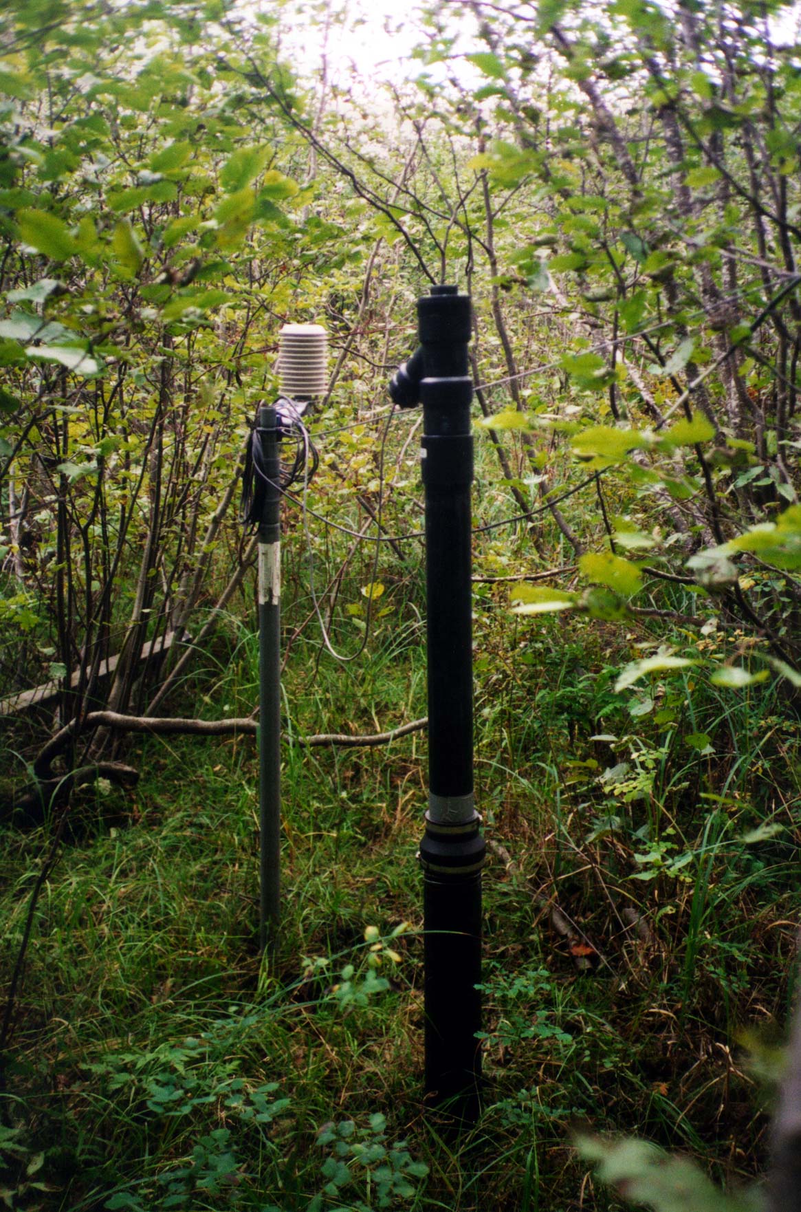
Sampling Frequencies:
1 second - PAR
10 seconds - meteorological
measurements (air T/RH, wind speed/direction)
10 minutes - soil
and other measurements
Data Output: 10 minute averages
VIEW PLOTS (You will need Ghost View to view these PostScript plots)
Page by Bruce Cook. Please send comments or questions to Kelly Cherrey