 |
 |
 |
|
(approx. 12 km west of WLEF) |
|
(approx. 8 km east of WLEF) |
Site Description | Basic measurements | Equipment and Methods | View plots | FTP Data | ChEAS Home Page
|
|
|
|
|
(approx. 12 km west of WLEF) |
|
(approx. 8 km east of WLEF) |
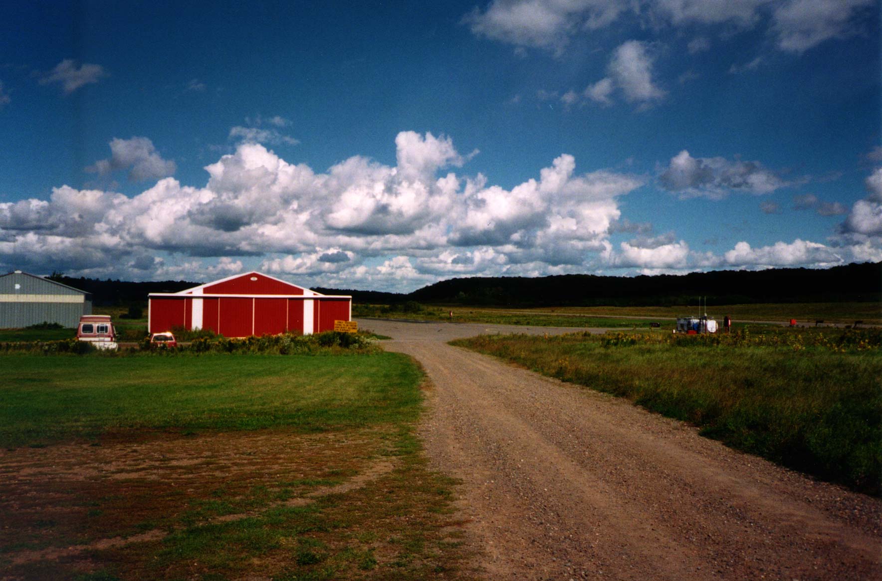
PARK
FALLS MUNICIPAL AIRPORT (long-term ceilometer measurements):
Location:
46° 57.4' N, 89°
25.5' W (click
here for aerial photographs)
Elevation:
approx. 456 m above sea level
Established:
13 April 2000
FABLE/COBRA
SITE (1998-2000 field campaigns with wind profiler/RASS):
Location: 45°
56.5' N, 90° 10' W
Elevation: approx.
453 m above sea level
Established:
May through October 1998 and 1999 (FABLE); August 2000 (COBRA)
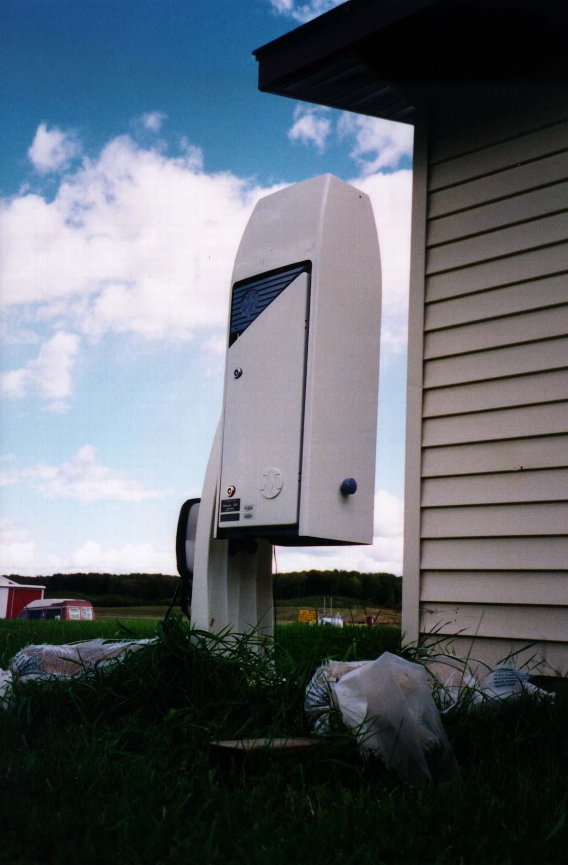
Vaisala CT25K ceilometer
(Fall 1998 to present)
915MHz boundary layer wind
profiler with radio acoustic sounding system (RASS)
Vaisala CT75K ceilometer
(Spring/Summer 1998)
VIEW PLOTS (You will need Adobe Acrobat and/or Ghost View to view these plots)
(Under Construction)
Page by Bruce Cook. Please send comments or questions to Kelly Cherrey